Each of these arial photos was take at about 32000 feet in 1972. They display an area approximately 4 miles by 4 miles. Each photo overlaps the photo east and west a bit and each line overlaps the line to the north and the line to the south.
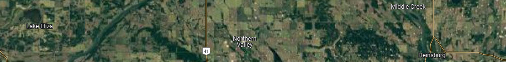
The Line 4 series goes from West of Lake Eliza to Gideon Lake to Northern Valley Store to the Heinsburg Bridge and ends east of Heinsburg.
The map below is the approximate coverage of this line of Arial photos.