The attached collection of local area arial photos was shared with us by Lawrence Zarowny. The photos were made by the Government of Alberta in 1972 and the photos were used extensively by Lawrence during his career in land management for CP and various banking entities. They can be blown up using a mouse or using other methods on mobile devices.
There are 171 arial photos in all organised in 8 Lines flown from East to West on precise corridors (Lines). Each photo (at the 31000 ft level) has 4 sections by 4 sections and each overlaps a bit on each side north and south and east and west. The lines are also of different lengths. In general Elk Point and Highway 41 are the approximate Center of each Line but this varies a bit. We have added Range Roads to the titles to help in identifying the approximate locations. The table below has the approximate East/ West ends.
| Line + Map # | West | East |
| Line 3 North 75 to 87 | Sinking Lake | Reita Lake |
| Line 2 North 45 to 56 | W of Kehewin | Muriel Lake |
| Line 7 207 to 228 | W of St Paul | Garnier Lake |
| Line 6 170 to 191 | South of St Paul | Middle Creek N Laurier L |
| Line 5 132 to 154 | Lac St Cyr | Laurier Lake |
| Line 4 95 to 115 | W of Stony Lake | Whitney Lake Prov Park |
| Line 3 56 to 78 | W of Lake Eliza | E of Heinsburg Bridge |
| Line 2 20 to 37 | Myrnam Bridge | E of Heinsburg Bridge |
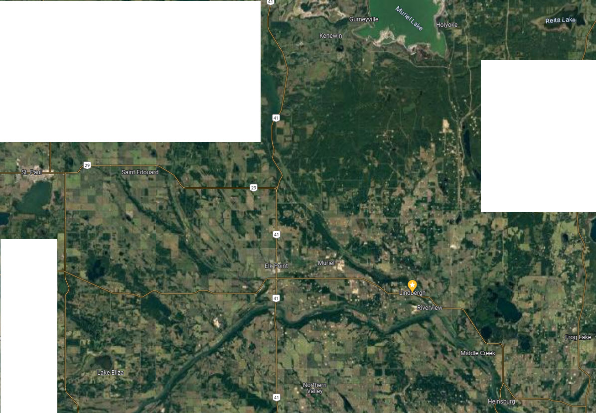
Map of all Arial Photo Lines (note some parts of Moose Mountain missing)


