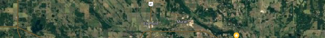
Line 6 1972 arial photos consist of the flight path starting west of Highway 881 through Dog Rump Creek to Moosehills Lake to Mitchel Lake and finishing at the upper Middle Creek area above Laurier Lake.
The map below is the approximate coverage of this line of Arial photos.