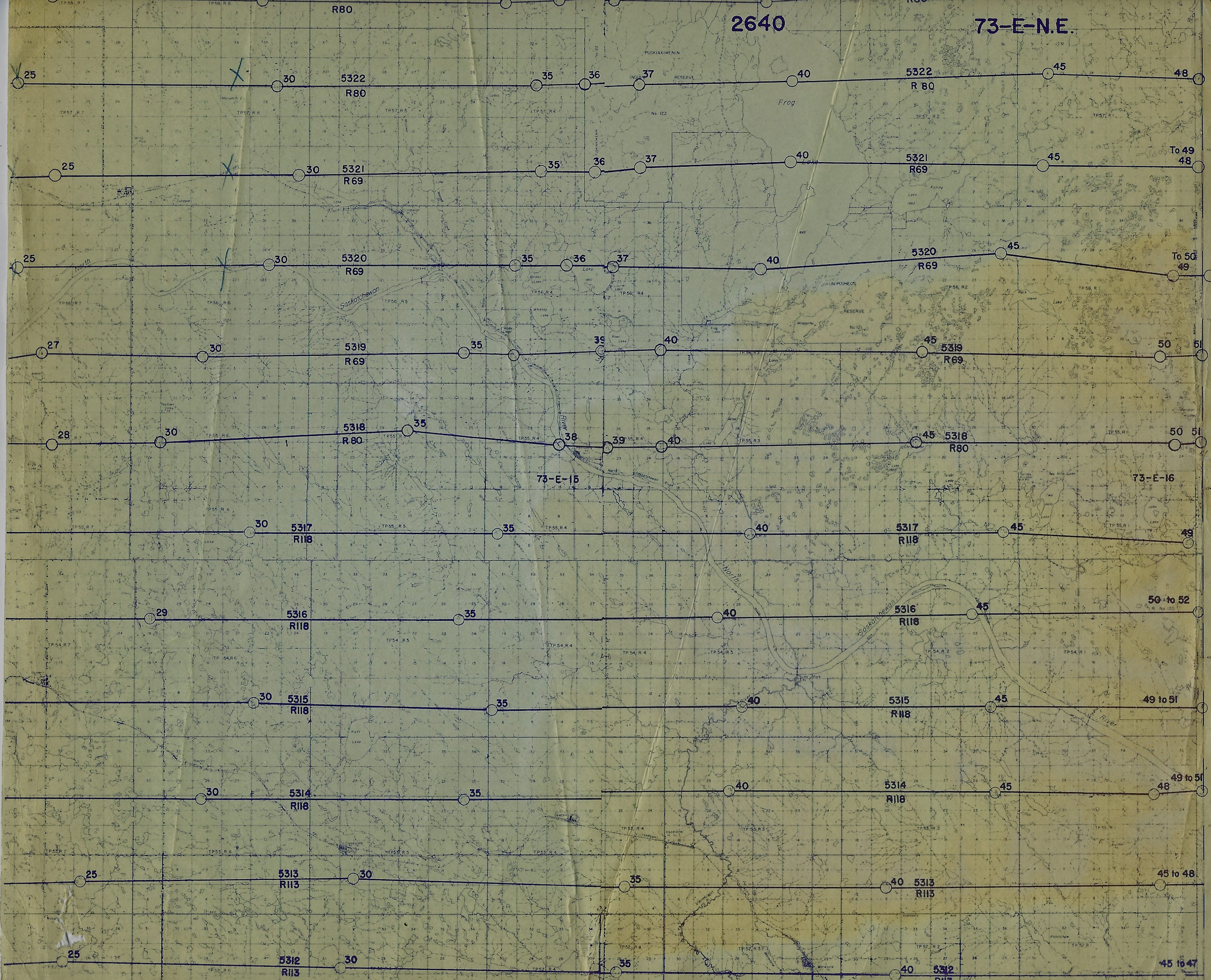
These photos were given to the Elk Point Historical Society by Sid Holthe about 20 years ago. They came in an envelope addressed to DE Berghofer, then principal of FG Miller High School. The envelope was dated 1968 and had a small map of the flight paths with a 1966 date on it (below).
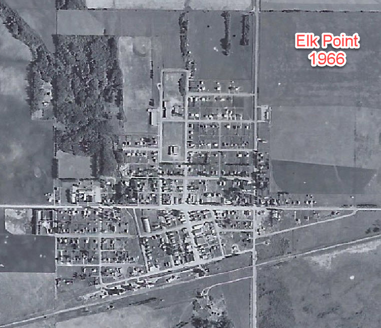
These maps are interesting in that they show the overall growth of the town of Elk Point as well as changes to roads and development of the countryside. Note the missing industrial parks and some of the subdivisions of Elk Point.