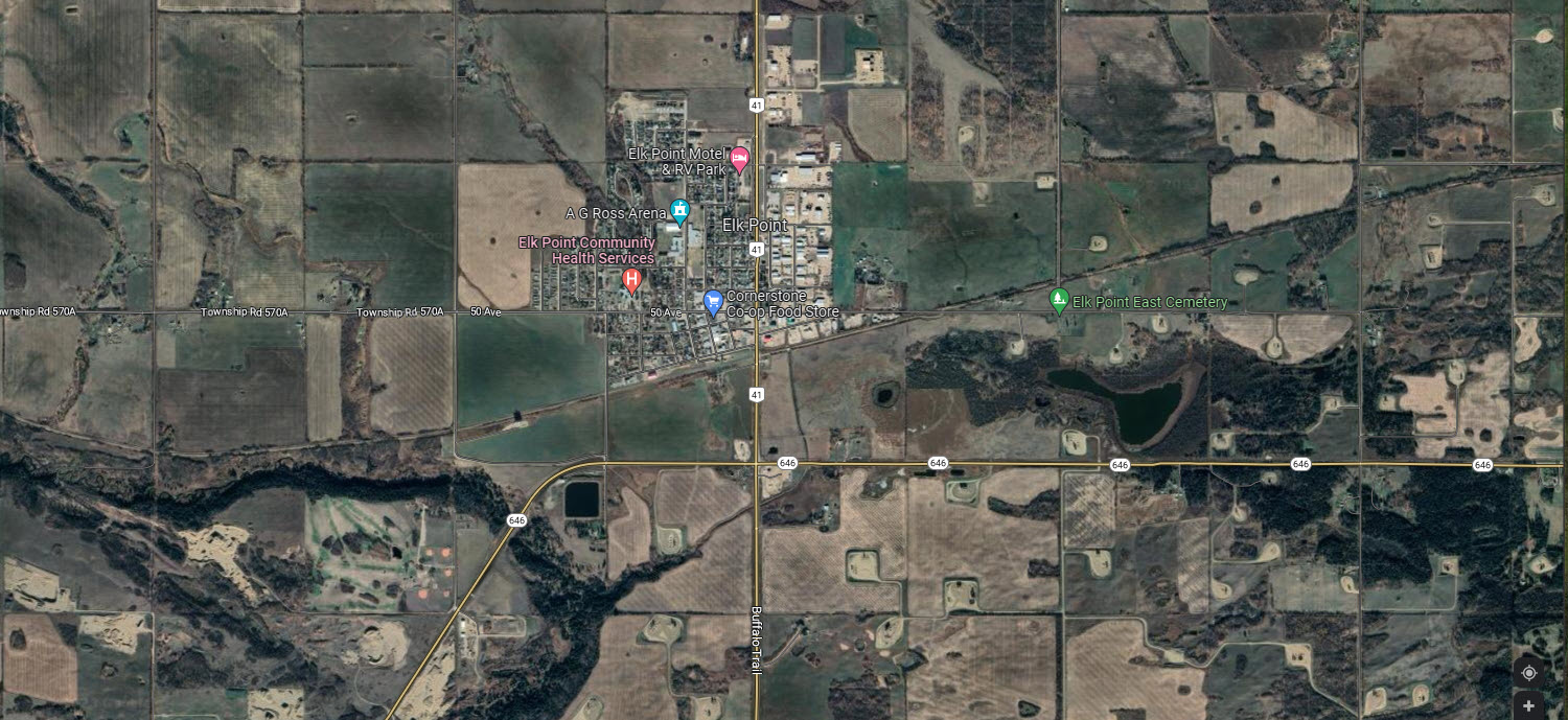
These 12 arial photos collected by Lawrence Zarowny show Elk Point in 1980 from 2 miles West of town to 3 miles east of town. The photos overlap a bit and each line (the airplane flight path) overlap north and south. Each photo covers a 1 1/2 mile by 1 1/2 mile area. They usually can be enlarged. (Although these are scanned at 300 dpi they are stripped for internet use; if you want to enlarge them ask for an original scan)
This group covers the area in the current google photo below: